Distance to Spring Branch, Texas

Calculating Your Route
Just a moment while we process your request...
Location Information
-
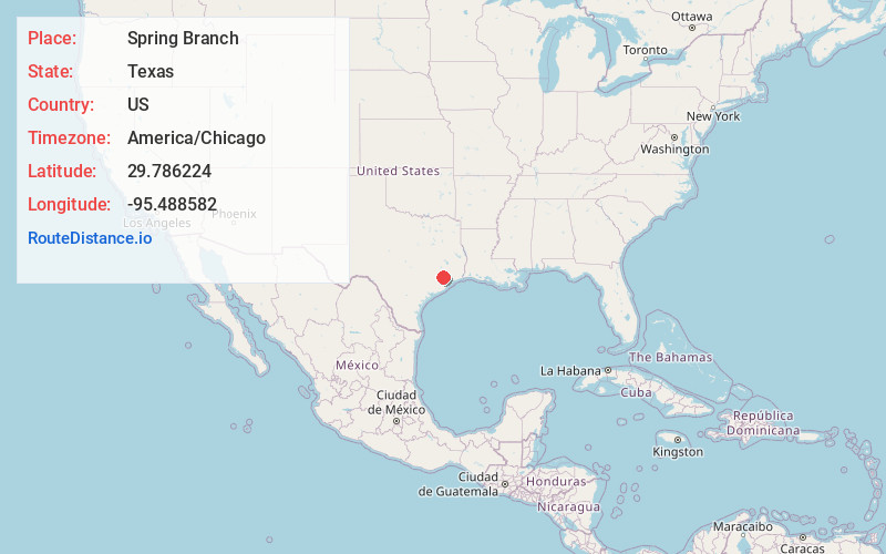
Full AddressSpring Branch, Texas
-
Coordinates29.7862244, -95.4885816
-
LocationTexas , US
-
TimezoneAmerica/Chicago
-
Current Local Time10:49:39 AM America/ChicagoMonday, June 30, 2025
-
Page Views1


Nearby Places
Found 10 places within 50 miles

Bellaire
5.8 mi
9.3 km
Bellaire, TX 77401
Get directions

Southside Place
6.3 mi
10.1 km
Southside Place, TX
Get directions

Houston
7.3 mi
11.7 km
Houston, TX
Get directions
Melendy
8.2 mi
13.2 km
Melendy, Houston, TX 77041
Get directions

Jersey Village
8.3 mi
13.4 km
Jersey Village, TX
Get directions

Aldine
9.6 mi
15.4 km
Aldine, TX
Get directions
Meadows Place
11.1 mi
17.9 km
Meadows Place, TX 77477
Get directions

Mission Bend
12.4 mi
20.0 km
Mission Bend, TX
Get directions

Stafford
12.5 mi
20.1 km
Stafford, TX 77477
Get directions
Deco
12.9 mi
20.8 km
Deco, Houston, TX 77069
Get directions
Location Links
Local Weather
Weather Information
Coming soon!
Location Map
Static map view of Spring Branch, Texas
Browse Places by Distance
Places within specific distances from Spring Branch
Short Distances
Long Distances
Click any distance to see all places within that range from Spring Branch. Distances shown in miles (1 mile ≈ 1.61 kilometers).