Distance to Sprout, Kentucky

Calculating Your Route
Just a moment while we process your request...
Location Information
-
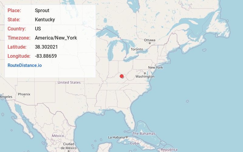
Full AddressSprout, KY 40350
-
Coordinates38.302021, -83.8865897
-
LocationKentucky , US
-
TimezoneAmerica/New_York
-
Current Local Time2:20:04 PM America/New_YorkTuesday, July 1, 2025
-
Page Views0
About Sprout
Sprout is an unincorporated community in Nicholas County, Kentucky, United States. It was also known as Buzzard Roost or The Roost. The Sprout Post Office closed in 1907. Of note, the Buzzard Roost Post Office, closed in 1861.
The community was named after the local Shrout family.
Nearby Places
Found 10 places within 50 miles

Upper Blue Licks
2.6 mi
4.2 km
Upper Blue Licks, KY 40350
Get directions
Moorefield
3.1 mi
5.0 km
Moorefield, KY 40311
Get directions
Battle Run
4.0 mi
6.4 km
Battle Run, KY 41041
Get directions
Bethel
4.1 mi
6.6 km
Bethel, KY 40374
Get directions
Sherburne
4.8 mi
7.7 km
Sherburne, KY 41041
Get directions
Myers
4.9 mi
7.9 km
Myers, KY 40311
Get directions
Pleasant Valley
6.0 mi
9.7 km
Pleasant Valley, KY 40311
Get directions
East Union
6.7 mi
10.8 km
East Union, KY 40311
Get directions

Sharpsburg
7.3 mi
11.7 km
Sharpsburg, KY 40374
Get directions
Pebble
7.4 mi
11.9 km
Pebble, KY 40360
Get directions
Location Links
Local Weather
Weather Information
Coming soon!
Location Map
Static map view of Sprout, Kentucky
Browse Places by Distance
Places within specific distances from Sprout
Short Distances
Long Distances
Click any distance to see all places within that range from Sprout. Distances shown in miles (1 mile ≈ 1.61 kilometers).