Distance to Sprucedale, Arizona

Calculating Your Route
Just a moment while we process your request...
Location Information
-
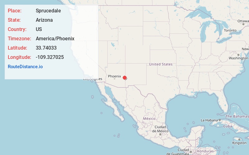
Full AddressSprucedale, AZ
-
Coordinates33.7403302, -109.3270253
-
LocationArizona , US
-
TimezoneAmerica/Phoenix
-
Current Local Time5:34:33 AM America/PhoenixSunday, May 25, 2025
-
Page Views0
Nearby Places
Found 10 places within 50 miles

Boneyard
10.1 mi
16.3 km
Boneyard, AZ 85920
Get directions

Carlton Vista
10.3 mi
16.6 km
Carlton Vista, AZ 85922
Get directions

Alpine
12.9 mi
20.8 km
Alpine, AZ 85920
Get directions

Nutrioso
16.2 mi
26.1 km
Nutrioso, AZ 85932
Get directions
Rosebud
18.3 mi
29.5 km
Rosebud, AZ 85938
Get directions

Greer
20.1 mi
32.3 km
Greer, AZ 85927
Get directions
Troweek
20.1 mi
32.3 km
Troweek, AZ 85932
Get directions

Round Valley Unified District
25.1 mi
40.4 km
Round Valley Unified District, AZ
Get directions

Eagar
25.7 mi
41.4 km
Eagar, AZ
Get directions

Christmas Tree Lake
26.2 mi
42.2 km
Christmas Tree Lake, Arizona 85941
Get directions
Location Links
Local Weather
Weather Information
Coming soon!
Location Map
Static map view of Sprucedale, Arizona
Browse Places by Distance
Places within specific distances from Sprucedale
Short Distances
Long Distances
Click any distance to see all places within that range from Sprucedale. Distances shown in miles (1 mile ≈ 1.61 kilometers).