Distance to Stringtown, Virginia

Calculating Your Route
Just a moment while we process your request...
Location Information
-
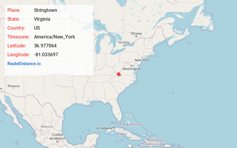
Full AddressStringtown, VA 24382
-
Coordinates36.9770636, -81.0336966
-
LocationVirginia , US
-
TimezoneAmerica/New_York
-
Current Local Time5:28:32 AM America/New_YorkSaturday, June 21, 2025
-
Page Views0
Nearby Places
Found 10 places within 50 miles

Kindrick
0.4 mi
0.6 km
Kindrick, VA 24382
Get directions

Wytheville
3.4 mi
5.5 km
Wytheville, VA 24382
Get directions
Crowgeys
4.0 mi
6.4 km
Crowgeys, Wytheville, VA 24382
Get directions

Max Meadows
4.7 mi
7.6 km
Max Meadows, VA
Get directions

Fort Chiswell
5.2 mi
8.4 km
Fort Chiswell, VA
Get directions
Petunia
5.4 mi
8.7 km
Petunia, Wytheville, VA 24382
Get directions
Carnot
5.6 mi
9.0 km
Carnot, VA 24084
Get directions
Farmers Store
6.1 mi
9.8 km
Farmers Store, Fort Chiswell, VA 24360
Get directions
West Piney
6.5 mi
10.5 km
West Piney, VA 24382
Get directions
Shupe
7.1 mi
11.4 km
Shupe, VA 24382
Get directions
Location Links
Local Weather
Weather Information
Coming soon!
Location Map
Static map view of Stringtown, Virginia
Browse Places by Distance
Places within specific distances from Stringtown
Short Distances
Long Distances
Click any distance to see all places within that range from Stringtown. Distances shown in miles (1 mile ≈ 1.61 kilometers).