Distance to Sugar Bush Knolls, Ohio

Calculating Your Route
Just a moment while we process your request...
Location Information
-
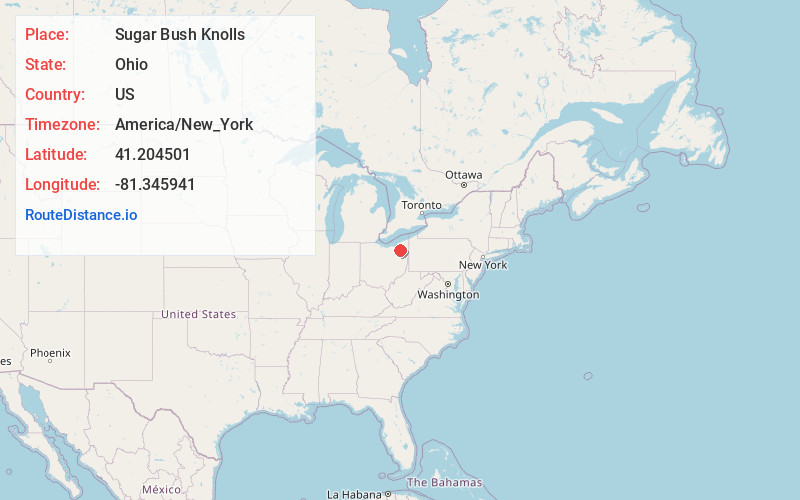
Full AddressSugar Bush Knolls, OH
-
Coordinates41.2045005, -81.3459407
-
LocationSugar Bush Knolls , Ohio , US
-
TimezoneAmerica/New_York
-
Current Local Time1:38:12 AM America/New_YorkThursday, June 19, 2025
-
Page Views0
About Sugar Bush Knolls
Sugar Bush Knolls is a village in western Portage County, Ohio, United States. The population was 217 at the 2020 census. It was formed from portions of Streetsboro and Franklin townships in 1964. The community has the highest median household income in the Akron metropolitan area.
Nearby Places
Found 10 places within 50 miles

Streetsboro
2.4 mi
3.9 km
Streetsboro, OH
Get directions

Kent
3.6 mi
5.8 km
Kent, OH
Get directions

Hudson
5.5 mi
8.9 km
Hudson, OH
Get directions

Stow
5.8 mi
9.3 km
Stow, OH
Get directions

Ravenna
6.3 mi
10.1 km
Ravenna, OH 44266
Get directions

Munroe Falls
6.4 mi
10.3 km
Munroe Falls, OH
Get directions

Silver Lake
6.5 mi
10.5 km
Silver Lake, OH 44224
Get directions

Brimfield
7.2 mi
11.6 km
Brimfield, OH
Get directions

Aurora
7.8 mi
12.6 km
Aurora, OH 44202
Get directions

Mantua
8.4 mi
13.5 km
Mantua, OH 44255
Get directions
Location Links
Local Weather
Weather Information
Coming soon!
Location Map
Static map view of Sugar Bush Knolls, Ohio
Browse Places by Distance
Places within specific distances from Sugar Bush Knolls
Short Distances
Long Distances
Click any distance to see all places within that range from Sugar Bush Knolls. Distances shown in miles (1 mile ≈ 1.61 kilometers).