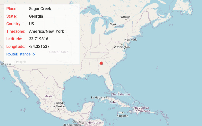
Distance to Sugar Creek, Georgia

Calculating Your Route
Just a moment while we process your request...
Location Information
-
Full AddressSugar Creek, Georgia
-
Coordinates33.7198157, -84.3215373
-
LocationGeorgia , US
-
TimezoneAmerica/New_York
-
Current Local Time10:47:22 PM America/New_YorkWednesday, June 18, 2025
-
Page Views0
Nearby Places
Found 10 places within 50 miles

Gresham Park
1.1 mi
1.8 km
Gresham Park, GA
Get directions
Candler-McAfee
2.7 mi
4.3 km
Candler-McAfee, GA 30032
Get directions
Panthersville
3.0 mi
4.8 km
Panthersville, GA 30034
Get directions

Belvedere Park
3.9 mi
6.3 km
Belvedere Park, GA
Get directions

Decatur
4.1 mi
6.6 km
Decatur, GA
Get directions

Atlanta
4.4 mi
7.1 km
Atlanta, GA
Get directions

Avondale Estates
4.7 mi
7.6 km
Avondale Estates, GA
Get directions

North Decatur
5.0 mi
8.0 km
North Decatur, GA
Get directions

Conley
5.4 mi
8.7 km
Conley, GA
Get directions
Scottdale
5.9 mi
9.5 km
Scottdale, GA
Get directions
Location Links
Local Weather
Weather Information
Coming soon!
Location Map
Static map view of Sugar Creek, Georgia
Browse Places by Distance
Places within specific distances from Sugar Creek
Short Distances
Long Distances
Click any distance to see all places within that range from Sugar Creek. Distances shown in miles (1 mile ≈ 1.61 kilometers).