Distance to Sumner, Oklahoma

Calculating Your Route
Just a moment while we process your request...
Location Information
-
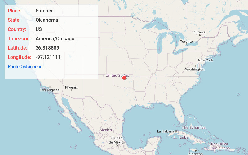
Full AddressSumner, OK 73077
-
Coordinates36.318889, -97.121111
-
LocationSumner , Oklahoma , US
-
TimezoneAmerica/Chicago
-
Current Local Time11:30:13 AM America/ChicagoWednesday, May 28, 2025
-
Page Views0
About Sumner
Sumner is an unincorporated community and census-designated place located in Noble County, Oklahoma, United States, ten miles east of Perry and two miles north of U.S. Route 64. Established prior to statehood along the St. Louis-San Francisco Railway, the post office opened on May 23, 1894.
Nearby Places
Found 10 places within 50 miles

Morrison
6.5 mi
10.5 km
Morrison, OK 73061
Get directions

Perry
9.5 mi
15.3 km
Perry, OK 73077
Get directions

Red Rock
10.2 mi
16.4 km
Red Rock, OK 74651
Get directions
Glencoe
12.5 mi
20.1 km
Glencoe, OK 74032
Get directions

Stillwater
14.5 mi
23.3 km
Stillwater, OK
Get directions

Marland
16.8 mi
27.0 km
Marland, OK 74644
Get directions

Pawnee
17.7 mi
28.5 km
Pawnee, OK 74058
Get directions

Orlando
18.5 mi
29.8 km
Orlando, OK 73073
Get directions

Lucien
18.8 mi
30.3 km
Lucien, OK 73757
Get directions
White Eagle
19.9 mi
32.0 km
White Eagle, OK 74601
Get directions
Location Links
Local Weather
Weather Information
Coming soon!
Location Map
Static map view of Sumner, Oklahoma
Browse Places by Distance
Places within specific distances from Sumner
Short Distances
Long Distances
Click any distance to see all places within that range from Sumner. Distances shown in miles (1 mile ≈ 1.61 kilometers).