Distance to Sunspot, New Mexico

Calculating Your Route
Just a moment while we process your request...
Location Information
-
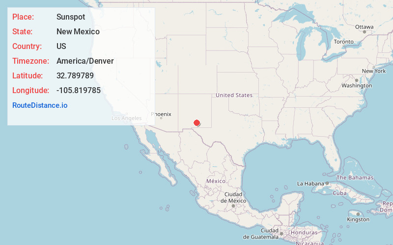
Full AddressSunspot, NM 88349
-
Coordinates32.7897887, -105.8197846
-
LocationSunspot , New Mexico , US
-
TimezoneAmerica/Denver
-
Current Local Time3:52:12 PM America/DenverMonday, June 16, 2025
-
Page Views0
About Sunspot
Sunspot is an unincorporated community in the Sacramento Mountains in the Lincoln National Forest in Otero County, New Mexico, United States, about 18 miles south of Cloudcroft. Its elevation is 9,186 feet. The Sunspot Solar Observatory and Apache Point Observatory are located in Sunspot in the Sacramento Mountains.


Nearby Places
Found 10 places within 50 miles

Omlee
9.4 mi
15.1 km
Omlee, Boles Acres, NM 88310
Get directions

Boles Acres
9.5 mi
15.3 km
Boles Acres, NM 88310
Get directions
Valmont
10.2 mi
16.4 km
Valmont, NM 88310
Get directions
Chippeway Park
10.6 mi
17.1 km
Chippeway Park, NM 88317
Get directions

High Rolls
11.2 mi
18.0 km
High Rolls, NM
Get directions

Alamogordo
11.2 mi
18.0 km
Alamogordo, NM 88310
Get directions
Red Hill
11.7 mi
18.8 km
Red Hill, High Rolls, NM 88310
Get directions

Cloudcroft
12.4 mi
20.0 km
Cloudcroft, NM 88317
Get directions

Timberon
13.8 mi
22.2 km
Timberon, NM 88350
Get directions
Twin Forks
15.4 mi
24.8 km
Twin Forks, NM
Get directions
Location Links
Local Weather
Weather Information
Coming soon!
Location Map
Static map view of Sunspot, New Mexico
Browse Places by Distance
Places within specific distances from Sunspot
Short Distances
Long Distances
Click any distance to see all places within that range from Sunspot. Distances shown in miles (1 mile ≈ 1.61 kilometers).