Distance to Supply, North Carolina

Calculating Your Route
Just a moment while we process your request...
Location Information
-
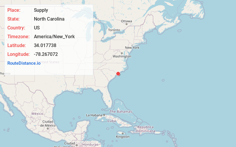
Full AddressSupply, NC
-
Coordinates34.0177378, -78.2670722
-
NeighborhoodSupply
-
LocationSupply , North Carolina , US
-
TimezoneAmerica/New_York
-
Current Local Time2:01:21 PM America/New_YorkWednesday, June 4, 2025
-
Page Views0
About Supply
Supply is a small unincorporated community in Brunswick County, North Carolina, United States, located around the intersection of US 17 and NC 211. Its name is derived from the use of the Lockwoods Folly River as a trade route in the 18th and 19th centuries.


Nearby Places
Found 10 places within 50 miles

Lennon Crossroads
2.3 mi
3.7 km
Lennon Crossroads, NC 28422
Get directions

Brunswick County
3.8 mi
6.1 km
Brunswick County, NC
Get directions
Sivey Town
4.1 mi
6.6 km
Sivey Town, NC 28462
Get directions

Varnamtown
5.5 mi
8.9 km
Varnamtown, NC 28462
Get directions
Secession
6.1 mi
9.8 km
Secession, NC 28462
Get directions
Half Hell
6.6 mi
10.6 km
Half Hell, NC 28422
Get directions

Shallotte
6.8 mi
10.9 km
Shallotte, NC
Get directions
Suburb
6.8 mi
10.9 km
Suburb, NC 28422
Get directions
Holden Beach
7.2 mi
11.6 km
Holden Beach, NC
Get directions
Monogram
7.4 mi
11.9 km
Monogram, NC 28470
Get directions
Location Links
Local Weather
Weather Information
Coming soon!
Location Map
Static map view of Supply, North Carolina
Browse Places by Distance
Places within specific distances from Supply
Short Distances
Long Distances
Click any distance to see all places within that range from Supply. Distances shown in miles (1 mile ≈ 1.61 kilometers).