Distance to Taloga, Oklahoma

Calculating Your Route
Just a moment while we process your request...
Location Information
-
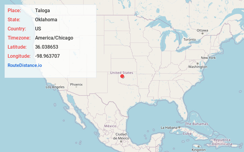
Full AddressTaloga, OK 73667
-
Coordinates36.0386532, -98.9637073
-
LocationTaloga , Oklahoma , US
-
TimezoneAmerica/Chicago
-
Current Local Time12:14:55 AM America/ChicagoFriday, June 20, 2025
-
Page Views0
About Taloga
Taloga is a town in Dewey County, Oklahoma, United States. The population was 288 at the time of the 2020 census.
It is the county seat of Dewey County. The town lies near the southern bank of a bend of the Canadian River, along U.S. Route 183, approximately thirty-seven miles north of Clinton.


Nearby Places
Found 10 places within 50 miles

Seiling
7.9 mi
12.7 km
Seiling, OK 73663
Get directions

Vici
20.2 mi
32.5 km
Vici, OK 73859
Get directions

Canton
21.0 mi
33.8 km
Canton, OK 73724
Get directions

Thomas
23.7 mi
38.1 km
Thomas, OK 73669
Get directions

Leedey
24.4 mi
39.3 km
Leedey, OK 73654
Get directions

Custer City
26.2 mi
42.2 km
Custer City, OK 73639
Get directions

Mooreland
30.8 mi
49.6 km
Mooreland, OK 73852
Get directions

Fairview
31.3 mi
50.4 km
Fairview, OK 73737
Get directions

Arapaho
31.8 mi
51.2 km
Arapaho, OK 73620
Get directions

Watonga
33.6 mi
54.1 km
Watonga, OK
Get directions
Location Links
Local Weather
Weather Information
Coming soon!
Location Map
Static map view of Taloga, Oklahoma
Browse Places by Distance
Places within specific distances from Taloga
Short Distances
Long Distances
Click any distance to see all places within that range from Taloga. Distances shown in miles (1 mile ≈ 1.61 kilometers).