Distance to Thomas Lane, California

Calculating Your Route
Just a moment while we process your request...
Location Information
-
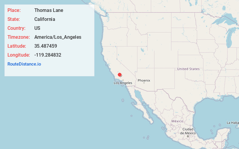
Full AddressThomas Lane, CA 93263
-
Coordinates35.4874585, -119.2848322
-
LocationCalifornia , US
-
TimezoneAmerica/Los_Angeles
-
Current Local Time5:53:30 PM America/Los_AngelesSaturday, May 31, 2025
-
Page Views0
Nearby Places
Found 10 places within 50 miles

Smith Corner
0.6 mi
1.0 km
Smith Corner, CA 93263
Get directions

Shafter
1.2 mi
1.9 km
Shafter, CA
Get directions
Cherokee Strip
2.0 mi
3.2 km
Cherokee Strip, CA 93263
Get directions
Minter Village
5.8 mi
9.3 km
Minter Village, Shafter, CA 93263
Get directions
Slater
6.6 mi
10.6 km
Slater, CA 93308
Get directions
Cawelo
6.8 mi
10.9 km
Cawelo, Shafter, CA 93314
Get directions
Lerdo
7.4 mi
11.9 km
Lerdo, CA 93314
Get directions

Wasco
8.0 mi
12.9 km
Wasco, CA 93280
Get directions

Rio Bravo-Greeley Union Elementary School District
8.3 mi
13.4 km
Rio Bravo-Greeley Union Elementary School District, CA
Get directions
Prospero
9.0 mi
14.5 km
Prospero, CA 93314
Get directions
Location Links
Local Weather
Weather Information
Coming soon!
Location Map
Static map view of Thomas Lane, California
Browse Places by Distance
Places within specific distances from Thomas Lane
Short Distances
Long Distances
Click any distance to see all places within that range from Thomas Lane. Distances shown in miles (1 mile ≈ 1.61 kilometers).