Distance to Thornton Township, Illinois

Calculating Your Route
Just a moment while we process your request...
Location Information
-
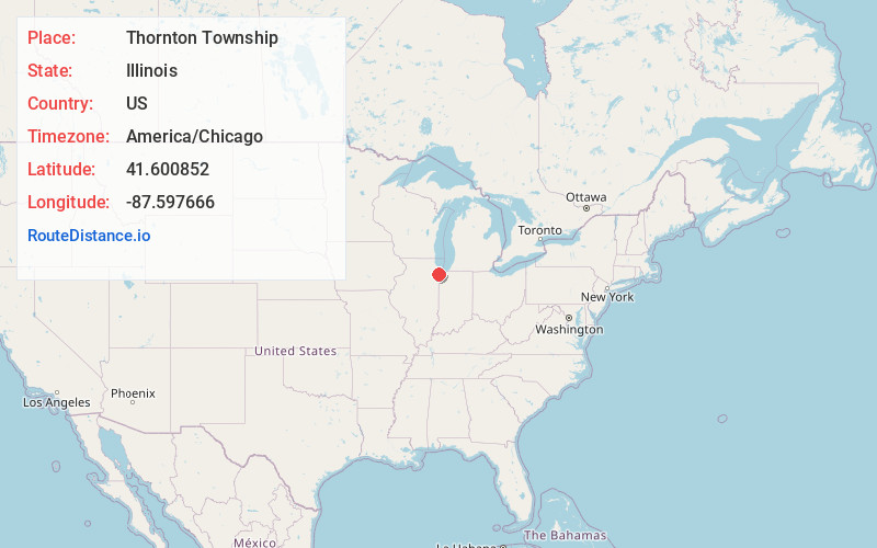
Full AddressThornton Township, IL
-
Coordinates41.600852, -87.5976659
-
LocationThornton Township , Illinois , US
-
TimezoneAmerica/Chicago
-
Current Local Time11:37:50 PM America/ChicagoSunday, June 1, 2025
-
Page Views0
About Thornton Township
Thornton Township is one of 29 townships in Cook County, Illinois. As of the 2020 census, its population was 157,865.
Incorporated in 1850, it is located immediately south of the city of Chicago. It is the second most populous township in Illinois as of the 2020 census, after Rockford Township in Winnebago County.


Nearby Places
Found 10 places within 50 miles

South Holland
0.5 mi
0.8 km
South Holland, IL
Get directions

Phoenix
2.0 mi
3.2 km
Phoenix, IL 60426
Get directions

Thornton
2.3 mi
3.7 km
Thornton, IL
Get directions
Schrum
2.5 mi
4.0 km
Schrum, Calumet City, IL 60409
Get directions

Harvey
2.6 mi
4.2 km
Harvey, IL
Get directions

Dolton
2.7 mi
4.3 km
Dolton, IL
Get directions

Riverdale
2.9 mi
4.7 km
Riverdale, IL
Get directions
East Hazel Crest
3.1 mi
5.0 km
East Hazel Crest, IL
Get directions
Burnham
3.4 mi
5.5 km
Burnham, IL
Get directions

Calumet City
3.7 mi
6.0 km
Calumet City, IL
Get directions
Location Links
Local Weather
Weather Information
Coming soon!
Location Map
Static map view of Thornton Township, Illinois
Browse Places by Distance
Places within specific distances from Thornton Township
Short Distances
Long Distances
Click any distance to see all places within that range from Thornton Township. Distances shown in miles (1 mile ≈ 1.61 kilometers).