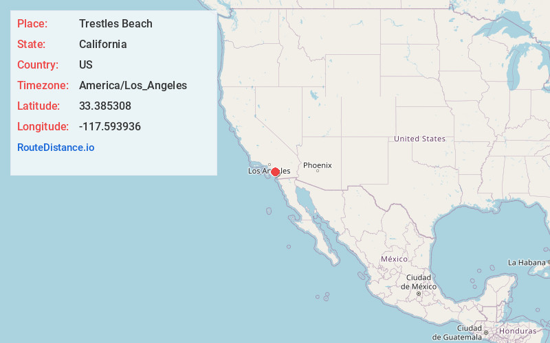
Distance to Trestles Beach, California

Calculating Your Route
Just a moment while we process your request...
Location Information
-
Full AddressTrestles Beach, California
-
Coordinates33.3853075, -117.5939359
-
LocationCalifornia , US
-
TimezoneAmerica/Los_Angeles
-
Current Local Time12:18:23 AM America/Los_AngelesFriday, May 23, 2025
-
Page Views0
About Trestles Beach
Secluded beach with surf breaks for beginners to experts, plus a nearby lagoon & wetlands reserve.


Nearby Places
Found 10 places within 50 miles

San Clemente State Beach
1.3 mi
2.1 km
San Clemente State Beach, San Clemente, CA 92672
Get directions

San Onofre Beach
1.8 mi
2.9 km
San Onofre Beach, California
Get directions

San Clemente
3.1 mi
5.0 km
San Clemente, CA
Get directions

Agra
6.5 mi
10.5 km
Agra, CA
Get directions

Dana Point
8.3 mi
13.4 km
Dana Point, CA
Get directions

San Juan Capistrano
9.0 mi
14.5 km
San Juan Capistrano, CA
Get directions

Ladera Ranch
11.8 mi
19.0 km
Ladera Ranch, CA
Get directions

Laguna Niguel
11.8 mi
19.0 km
Laguna Niguel, CA
Get directions

Laguna Niguel / Mission Viejo
12.5 mi
20.1 km
Laguna Niguel / Mission Viejo, Laguna Niguel, CA 92677
Get directions

Aliso Beach
12.6 mi
20.3 km
Aliso Beach, Laguna Beach, CA 92651
Get directions
Location Links
Local Weather
Weather Information
Coming soon!
Location Map
Static map view of Trestles Beach, California
Browse Places by Distance
Places within specific distances from Trestles Beach
Short Distances
Long Distances
Click any distance to see all places within that range from Trestles Beach. Distances shown in miles (1 mile ≈ 1.61 kilometers).