Distance to Upper Township, Ohio

Calculating Your Route
Just a moment while we process your request...
Location Information
-
Full AddressUpper Township, OH 45638
-
Coordinates38.5382147, -82.6591465
-
LocationUpper Township , Ohio , US
-
TimezoneAmerica/New_York
-
Current Local Time4:50:49 PM America/New_YorkWednesday, June 18, 2025
-
Page Views0
About Upper Township
Upper Township is one of the fourteen townships of Lawrence County, Ohio, United States. As of the 2020 census the population was 14,451.


Nearby Places
Found 10 places within 50 miles

Coryville
0.5 mi
0.8 km
Coryville, Upper Township, OH 45638
Get directions

Ironton
1.3 mi
2.1 km
Ironton, OH 45638
Get directions
Hecla
1.3 mi
2.1 km
Hecla, Upper Township, OH 45638
Get directions

Coal Grove
2.5 mi
4.0 km
Coal Grove, OH 45638
Get directions

Russell
2.5 mi
4.0 km
Russell, KY
Get directions

Flatwoods
3.3 mi
5.3 km
Flatwoods, KY
Get directions
Bellefonte
3.6 mi
5.8 km
Bellefonte, KY 41101
Get directions
Worthington
3.6 mi
5.8 km
Worthington, KY
Get directions

Hanging Rock
3.7 mi
6.0 km
Hanging Rock, OH 45638
Get directions

Raceland
3.8 mi
6.1 km
Raceland, KY
Get directions
Location Links
Local Weather
Weather Information
Coming soon!
Location Map
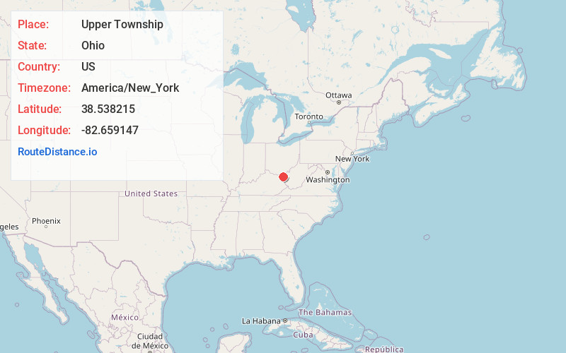
Static map view of Upper Township, Ohio
Browse Places by Distance
Places within specific distances from Upper Township
Short Distances
Long Distances
Click any distance to see all places within that range from Upper Township. Distances shown in miles (1 mile ≈ 1.61 kilometers).