Distance to Wanda, Missouri

Calculating Your Route
Just a moment while we process your request...
Location Information
-
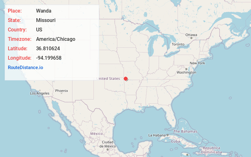
Full AddressWanda, Franklin Township, MO 64866
-
Coordinates36.8106237, -94.1996576
-
LocationFranklin Township , Missouri , US
-
TimezoneAmerica/Chicago
-
Current Local Time1:01:49 AM America/ChicagoWednesday, June 18, 2025
-
Page Views0
About Wanda
Wanda is an unincorporated community in Newton County, Missouri, United States. It lies along Missouri State Route O, between the towns of Stark City and Stella.
The community is part of the Joplin, Missouri Metropolitan Statistical Area.
Nearby Places
Found 10 places within 50 miles

Stella
3.4 mi
5.5 km
Stella, MO 64867
Get directions

Stark City
3.6 mi
5.8 km
Stark City, MO 64866
Get directions

Newtonia
4.6 mi
7.4 km
Newtonia, MO 64866
Get directions
Christopher
5.0 mi
8.0 km
Christopher, Benton Township, MO 64850
Get directions
Longview
6.0 mi
9.7 km
Longview, Elk Horn Township, MO 64861
Get directions

Fairview
6.2 mi
10.0 km
Fairview, MO 64842
Get directions
Monark Springs
6.2 mi
10.0 km
Monark Springs, MO 64850
Get directions
Bethlehem
7.2 mi
11.6 km
Bethlehem, Richwood Township, MO 64861
Get directions

Rocky Comfort
7.5 mi
12.1 km
Rocky Comfort, MO 64861
Get directions

Granby
8.1 mi
13.0 km
Granby, MO 64844
Get directions
Location Links
Local Weather
Weather Information
Coming soon!
Location Map
Static map view of Wanda, Missouri
Browse Places by Distance
Places within specific distances from Wanda
Short Distances
Long Distances
Click any distance to see all places within that range from Wanda. Distances shown in miles (1 mile ≈ 1.61 kilometers).