Distance to Wildcat Point, Oklahoma

Calculating Your Route
Just a moment while we process your request...
Location Information
-
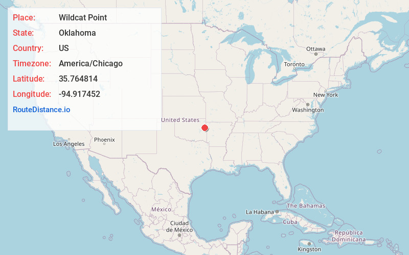
Full AddressWildcat Point, OK 74451
-
Coordinates35.7648142, -94.9174522
-
LocationWildcat Point , Oklahoma , US
-
TimezoneAmerica/Chicago
-
Current Local Time11:01:33 PM America/ChicagoWednesday, June 18, 2025
-
Page Views0
Nearby Places
Found 10 places within 50 miles

Pettit
1.7 mi
2.7 km
Pettit, OK 74451
Get directions

Barber
2.8 mi
4.5 km
Barber, OK 74471
Get directions
Keys
3.6 mi
5.8 km
Keys, OK
Get directions

Cookson
3.7 mi
6.0 km
Cookson, OK
Get directions

Tenkiller
3.9 mi
6.3 km
Tenkiller, OK
Get directions
Tailholt
6.5 mi
10.5 km
Tailholt, Caney, OK 74471
Get directions
Park Hill
7.1 mi
11.4 km
Park Hill, OK
Get directions
Qualls
7.2 mi
11.6 km
Qualls, OK 74451
Get directions

Welling
7.6 mi
12.2 km
Welling, OK
Get directions

Zeb
7.8 mi
12.6 km
Zeb, OK 74464
Get directions
Location Links
Local Weather
Weather Information
Coming soon!
Location Map
Static map view of Wildcat Point, Oklahoma
Browse Places by Distance
Places within specific distances from Wildcat Point
Short Distances
Long Distances
Click any distance to see all places within that range from Wildcat Point. Distances shown in miles (1 mile ≈ 1.61 kilometers).