Distance to Aerial, Georgia

Calculating Your Route
Just a moment while we process your request...
Location Information
-
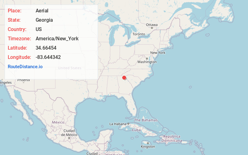
Full AddressAerial, GA 30571
-
Coordinates34.66454, -83.6443421
-
LocationAerial , Georgia , US
-
TimezoneAmerica/New_York
-
Current Local Time4:15:45 AM America/New_YorkWednesday, June 18, 2025
-
Page Views0
About Aerial
Aerial is an unincorporated community in Habersham County, in the U.S. state of Georgia.
Nearby Places
Found 10 places within 50 miles

Sautee Nacoochee
2.2 mi
3.5 km
Sautee Nacoochee, GA 30571
Get directions

Helen
5.6 mi
9.0 km
Helen, GA 30545
Get directions

Yonah
6.4 mi
10.3 km
Yonah, GA 30528
Get directions

Clarkesville
7.7 mi
12.4 km
Clarkesville, GA 30523
Get directions

Cleveland
8.2 mi
13.2 km
Cleveland, GA 30528
Get directions
Benefit
8.8 mi
14.2 km
Benefit, GA 30528
Get directions

Demorest
8.9 mi
14.3 km
Demorest, GA 30535
Get directions
Hollywood
11.2 mi
18.0 km
Hollywood, GA 30523
Get directions
Rogers Mill
11.3 mi
18.2 km
Rogers Mill, GA 30528
Get directions
Town Creek
11.7 mi
18.8 km
Town Creek, Georgia 30528
Get directions
Location Links
Local Weather
Weather Information
Coming soon!
Location Map
Static map view of Aerial, Georgia
Browse Places by Distance
Places within specific distances from Aerial
Short Distances
Long Distances
Click any distance to see all places within that range from Aerial. Distances shown in miles (1 mile ≈ 1.61 kilometers).