Distance to Agua Caliente, Arizona

Calculating Your Route
Just a moment while we process your request...
Location Information
-
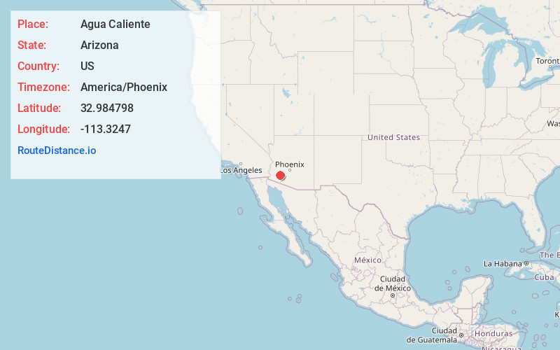
Full AddressAgua Caliente, AZ 85333
-
Coordinates32.984798, -113.3247
-
LocationAgua Caliente , Arizona , US
-
TimezoneAmerica/Phoenix
-
Current Local Time5:54:09 PM America/PhoenixTuesday, June 17, 2025
-
Page Views0
About Agua Caliente
Agua Caliente in Maricopa County, Arizona on the border with Yuma County, is a place north of the Gila River near Hyder, Arizona. Named 'Santa Maria del Agua Caliente' in 1744 by Father Jacob Sedelmayer. In 1775, Father Francisco Garces used the current short form.


Nearby Places
Found 10 places within 50 miles

Hyder
2.6 mi
4.2 km
Hyder, AZ 85333
Get directions

Camel
5.3 mi
8.5 km
Camel, AZ 85333
Get directions
Horn
10.7 mi
17.2 km
Horn, AZ 85333
Get directions

Aztec
13.4 mi
21.6 km
Aztec, AZ 85333
Get directions

Sundad
14.5 mi
23.3 km
Sundad, AZ 85333
Get directions
Tartron
14.9 mi
24.0 km
Tartron, AZ
Get directions

Dateland
18.0 mi
29.0 km
Dateland, AZ 85333
Get directions
Stoval
23.0 mi
37.0 km
Stoval, AZ 85347
Get directions
Theba
25.5 mi
41.0 km
Theba, AZ 85337
Get directions
Harqua
26.0 mi
41.8 km
Harqua, AZ 85322
Get directions
Location Links
Local Weather
Weather Information
Coming soon!
Location Map
Static map view of Agua Caliente, Arizona
Browse Places by Distance
Places within specific distances from Agua Caliente
Short Distances
Long Distances
Click any distance to see all places within that range from Agua Caliente. Distances shown in miles (1 mile ≈ 1.61 kilometers).