Distance to and from Ansley Heights, North Carolina
Ansley Heights, NC 28605
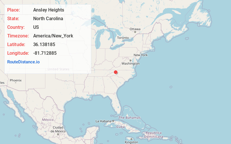
Ansley Heights
North Carolina
US
America/New_York
Location Information
-
Full AddressAnsley Heights, NC 28605
-
Coordinates36.1381845, -81.7128849
-
LocationAnsley Heights , North Carolina , US
-
TimezoneAmerica/New_York
-
Current Local Time2:27:19 PM America/New_YorkSaturday, May 3, 2025
-
Page Views0
Directions to Nearest Cities
Nearby Places
Found 10 places within 50 miles

Boone Fork
1.8 mi
2.9 km
Boone Fork, NC 28605
Get directions

Blowing Rock
2.0 mi
3.2 km
Blowing Rock, NC
Get directions
Echo Park
2.5 mi
4.0 km
Echo Park, Blowing Rock, NC 28605
Get directions
Shulls Mill
3.0 mi
4.8 km
Shulls Mill, NC 28607
Get directions

Foscoe
3.4 mi
5.5 km
Foscoe, NC
Get directions
Bailey Camp
4.4 mi
7.1 km
Bailey Camp, NC 28645
Get directions
Upton
4.8 mi
7.7 km
Upton, NC 28645
Get directions

Gragg
5.5 mi
8.9 km
Gragg, NC 28605
Get directions
Aho
5.6 mi
9.0 km
Aho, NC 28607
Get directions

Boone
5.8 mi
9.3 km
Boone, NC
Get directions
Boone Fork
1.8 mi
2.9 km
Boone Fork, NC 28605
Blowing Rock
2.0 mi
3.2 km
Blowing Rock, NC
Echo Park
2.5 mi
4.0 km
Echo Park, Blowing Rock, NC 28605
Shulls Mill
3.0 mi
4.8 km
Shulls Mill, NC 28607
Foscoe
3.4 mi
5.5 km
Foscoe, NC
Bailey Camp
4.4 mi
7.1 km
Bailey Camp, NC 28645
Upton
4.8 mi
7.7 km
Upton, NC 28645
Gragg
5.5 mi
8.9 km
Gragg, NC 28605
Aho
5.6 mi
9.0 km
Aho, NC 28607
Boone
5.8 mi
9.3 km
Boone, NC
Location Links
Local Weather
Weather Information
Coming soon!
Location Map
Static map view of Ansley Heights, North Carolina
Browse Places by Distance
Places within specific distances from Ansley Heights
Short Distances
Long Distances
Click any distance to see all places within that range from Ansley Heights. Distances shown in miles (1 mile ≈ 1.61 kilometers).