Distance to Becton, Arkansas

Calculating Your Route
Just a moment while we process your request...
Location Information
-
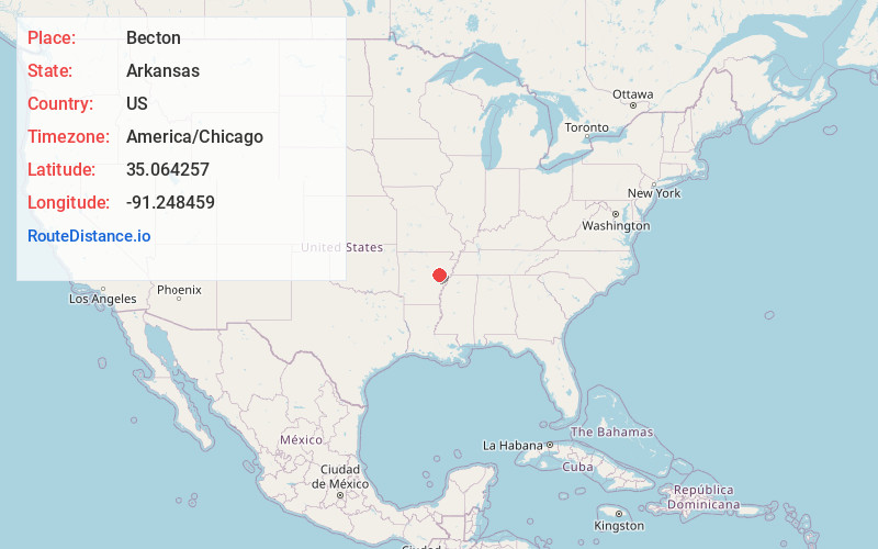
Full AddressBecton, AR 72036
-
Coordinates35.0642574, -91.2484594
-
LocationArkansas , US
-
TimezoneAmerica/Chicago
-
Current Local Time8:03:49 AM America/ChicagoMonday, June 23, 2025
-
Page Views0
Nearby Places
Found 10 places within 50 miles

Casey
3.1 mi
5.0 km
Casey, AR 72036
Get directions
Howell
3.4 mi
5.5 km
Howell, AR 72006
Get directions

Cotton Plant
4.1 mi
6.6 km
Cotton Plant, AR 72036
Get directions
Daggett
4.5 mi
7.2 km
Daggett, AR 72040
Get directions
Saulsburg
6.8 mi
10.9 km
Saulsburg, AR 72036
Get directions
Hunter
7.0 mi
11.3 km
Hunter, AR
Get directions
Zent
7.4 mi
11.9 km
Zent, AR 72021
Get directions
Little Dixie
7.7 mi
12.4 km
Little Dixie, AR 72040
Get directions
Gregory
8.3 mi
13.4 km
Gregory, AR 72006
Get directions
Fargo
8.7 mi
14.0 km
Fargo, AR 72021
Get directions
Location Links
Local Weather
Weather Information
Coming soon!
Location Map
Static map view of Becton, Arkansas
Browse Places by Distance
Places within specific distances from Becton
Short Distances
Long Distances
Click any distance to see all places within that range from Becton. Distances shown in miles (1 mile ≈ 1.61 kilometers).