Distance to Calico, California

Calculating Your Route
Just a moment while we process your request...
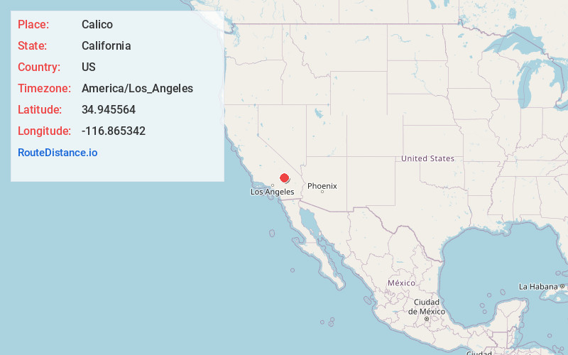
Location Information
-
Full AddressCalico, CA 92311
-
Coordinates34.9455639, -116.8653421
-
LocationCalifornia , US
-
TimezoneAmerica/Los_Angeles
-
Current Local Time9:45:15 AM America/Los_AngelesSaturday, May 31, 2025
-
Page Views0
About Calico
Calico is a ghost town and former mining town in San Bernardino County, California, United States. Located in the Calico Mountains of the Mojave Desert region of Southern California, it was founded in 1881 as a silver mining town, and was later converted into a county park named Calico Ghost Town.


Nearby Places
Found 10 places within 50 miles

Yermo
3.5 mi
5.6 km
Yermo, CA
Get directions

Daggett
5.8 mi
9.3 km
Daggett, CA 92327
Get directions

Barstow
9.3 mi
15.0 km
Barstow, CA
Get directions

Hutt
12.2 mi
19.6 km
Hutt, CA 92311
Get directions

Lenwood
14.6 mi
23.5 km
Lenwood, CA 92311
Get directions

Hinkley
18.9 mi
30.4 km
Hinkley, CA 92347
Get directions

Fort Irwin
24.2 mi
38.9 km
Fort Irwin, CA 92310
Get directions

Bell Mountain
30.2 mi
48.6 km
Bell Mountain, CA 92307
Get directions

Helendale
30.7 mi
49.4 km
Helendale, CA 92342
Get directions
Basin
33.0 mi
53.1 km
Basin, CA 92309
Get directions
Location Links
Local Weather
Weather Information
Coming soon!
Location Map
Static map view of Calico, California
Browse Places by Distance
Places within specific distances from Calico
Short Distances
Long Distances
Click any distance to see all places within that range from Calico. Distances shown in miles (1 mile ≈ 1.61 kilometers).