Distance to Crooked Creek Township, Missouri

Calculating Your Route
Just a moment while we process your request...
Location Information
-
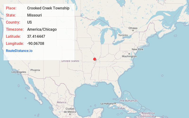
Full AddressCrooked Creek Township, MO
-
Coordinates37.4144474, -90.0670802
-
LocationCrooked Creek Township , Missouri , US
-
TimezoneAmerica/Chicago
-
Current Local Time7:40:35 AM America/ChicagoTuesday, June 3, 2025
-
Page Views1
About Crooked Creek Township
Crooked Creek Township is one of eight townships in Bollinger County, Missouri, USA. As of the 2000 U.S. Census, its population was 1,182. As of the 2010 U.S. Census, the population had increased to 1,234. Crooked Creek Township covers an area of 84.74 square miles.
Nearby Places
Found 10 places within 50 miles

Grisham
3.0 mi
4.8 km
Grisham, Crooked Creek Township, MO 63655
Get directions
Bessville
3.2 mi
5.1 km
Bessville, Crooked Creek Township, MO 63751
Get directions
Tallent
3.5 mi
5.6 km
Tallent, Crooked Creek Township, MO 63662
Get directions
Shrum
3.5 mi
5.6 km
Shrum, Crooked Creek Township, MO 63764
Get directions

Marquand
5.6 mi
9.0 km
Marquand, MO 63655
Get directions
Patton
6.6 mi
10.6 km
Patton, MO 63662
Get directions
Glenallen
7.1 mi
11.4 km
Glenallen, MO 63751
Get directions
Scopus
8.1 mi
13.0 km
Scopus, MO 63766
Get directions
North Patton
8.5 mi
13.7 km
North Patton, Union Township, MO 63775
Get directions
Klendike
8.8 mi
14.2 km
Klendike, MO 63655
Get directions
Location Links
Local Weather
Weather Information
Coming soon!
Location Map
Static map view of Crooked Creek Township, Missouri
Browse Places by Distance
Places within specific distances from Crooked Creek Township
Short Distances
Long Distances
Click any distance to see all places within that range from Crooked Creek Township. Distances shown in miles (1 mile ≈ 1.61 kilometers).