Distance to Feather Falls, California

Calculating Your Route
Just a moment while we process your request...
Location Information
-
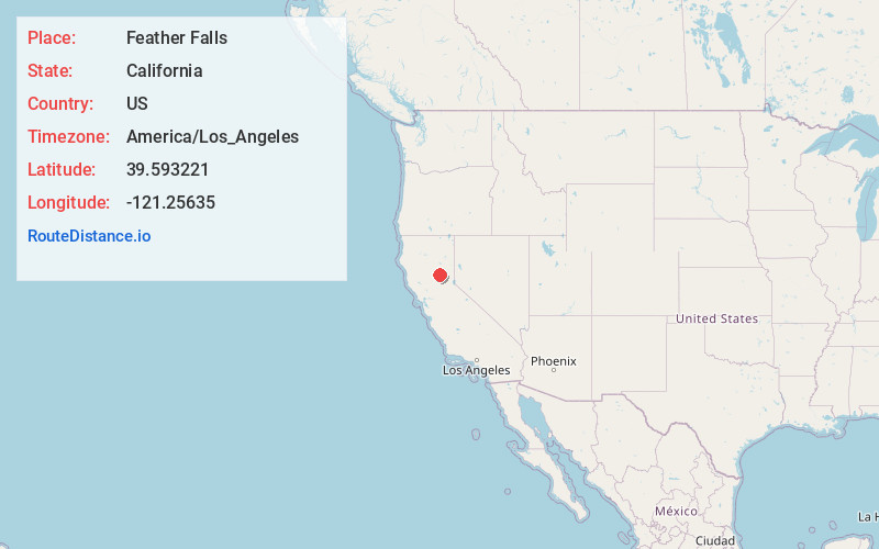
Full AddressFeather Falls, CA 95966
-
Coordinates39.5932207, -121.2563504
-
LocationFeather Falls , California , US
-
TimezoneAmerica/Los_Angeles
-
Current Local Time2:20:23 AM America/Los_AngelesWednesday, June 18, 2025
-
Page Views0
About Feather Falls
Feather Falls is a rural unincorporated community in Butte County, California north and east of Lake Oroville. It lies at an elevation of 2982 feet. It is home to Feather Falls Elementary School, a K-8 facility.


Nearby Places
Found 10 places within 50 miles

Rogerville
2.3 mi
3.7 km
Rogerville, CA
Get directions
Lumpkin
2.8 mi
4.5 km
Lumpkin, CA 95966
Get directions

Forbestown
5.3 mi
8.5 km
Forbestown, CA
Get directions

Clipper Mills
6.5 mi
10.5 km
Clipper Mills, CA 95930
Get directions

Berry Creek
7.2 mi
11.6 km
Berry Creek, CA
Get directions
Robinson Mill
8.4 mi
13.5 km
Robinson Mill, CA
Get directions

Challenge-Brownsville
9.5 mi
15.3 km
Challenge-Brownsville, CA
Get directions
Hurleton
9.5 mi
15.3 km
Hurleton, CA 95966
Get directions
Rackerby
11.9 mi
19.2 km
Rackerby, CA 95914
Get directions
Kelly Ridge
12.2 mi
19.6 km
Kelly Ridge, CA 95966
Get directions
Location Links
Local Weather
Weather Information
Coming soon!
Location Map
Static map view of Feather Falls, California
Browse Places by Distance
Places within specific distances from Feather Falls
Short Distances
Long Distances
Click any distance to see all places within that range from Feather Falls. Distances shown in miles (1 mile ≈ 1.61 kilometers).