Distance to Flushing Twp, Michigan

Calculating Your Route
Just a moment while we process your request...
Location Information
-
Full AddressFlushing Twp, MI 48433
-
Coordinates43.0893046, -83.8530092
-
LocationFlushing Twp , Michigan , US
-
TimezoneAmerica/Detroit
-
Current Local Time11:11:08 PM America/DetroitWednesday, June 18, 2025
-
Page Views0
About Flushing Twp
Flushing Charter Township is a charter township of Genesee County in the U.S. state of Michigan. The population was 10,701 at the 2020 census. Flushing Township was rated the 63rd safest community in America with a population over 10,000 by SafeWise, a home security and safety brand, in 2017.


Nearby Places
Found 10 places within 50 miles

Flushing
1.8 mi
2.9 km
Flushing, MI 48433
Get directions

Brent Creek
2.6 mi
4.2 km
Brent Creek, Flushing Twp, MI 48433
Get directions

Mt Morris Township
5.4 mi
8.7 km
Mt Morris Township, MI
Get directions

Montrose Twp
6.1 mi
9.8 km
Montrose Twp, MI
Get directions
New Lothrop
6.2 mi
10.0 km
New Lothrop, MI 48460
Get directions

Clayton Twp
6.2 mi
10.0 km
Clayton Twp, MI
Get directions

Montrose
6.4 mi
10.3 km
Montrose, MI 48457
Get directions
Juddville
7.1 mi
11.4 km
Juddville, MI 48817
Get directions
Flint Twp
7.3 mi
11.7 km
Flint Twp, MI
Get directions
Beecher
8.0 mi
12.9 km
Beecher, MI
Get directions
Location Links
Local Weather
Weather Information
Coming soon!
Location Map
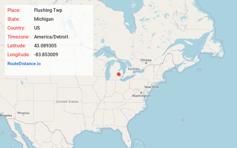
Static map view of Flushing Twp, Michigan
Browse Places by Distance
Places within specific distances from Flushing Twp
Short Distances
Long Distances
Click any distance to see all places within that range from Flushing Twp. Distances shown in miles (1 mile ≈ 1.61 kilometers).