Distance to Four Point, Alabama

Calculating Your Route
Just a moment while we process your request...
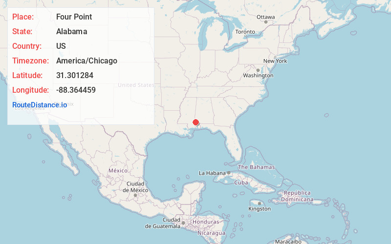
Location Information
-
Full AddressFour Point, AL 36539
-
Coordinates31.3012839, -88.3644588
-
LocationAlabama , US
-
TimezoneAmerica/Chicago
-
Current Local Time1:26:55 PM America/ChicagoTuesday, July 1, 2025
-
Page Views0
Nearby Places
Found 10 places within 50 miles

Vinegar Bend
2.8 mi
4.5 km
Vinegar Bend, AL 36584
Get directions

Fruitdale
3.8 mi
6.1 km
Fruitdale, AL 36539
Get directions

Deer Park
6.5 mi
10.5 km
Deer Park, AL 36529
Get directions
Tibbie
8.0 mi
12.9 km
Tibbie, AL
Get directions
Rounsaville
10.7 mi
17.2 km
Rounsaville, MS 39451
Get directions

State Line
11.4 mi
18.3 km
State Line, MS
Get directions

Chatom
13.1 mi
21.1 km
Chatom, AL 36518
Get directions
Sims Chapel
13.9 mi
22.4 km
Sims Chapel, AL 36553
Get directions

Leakesville
15.2 mi
24.5 km
Leakesville, MS
Get directions
Reid Settlement
16.1 mi
25.9 km
Reid Settlement, AL 36553
Get directions
Location Links
Local Weather
Weather Information
Coming soon!
Location Map
Static map view of Four Point, Alabama
Browse Places by Distance
Places within specific distances from Four Point
Short Distances
Long Distances
Click any distance to see all places within that range from Four Point. Distances shown in miles (1 mile ≈ 1.61 kilometers).