Distance to Isabella, Missouri

Calculating Your Route
Just a moment while we process your request...
Location Information
-
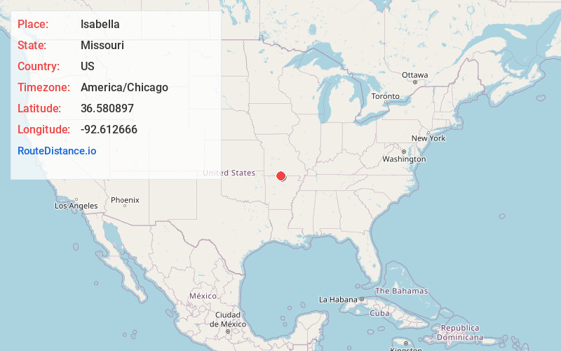
Full AddressIsabella, MO 65676
-
Coordinates36.5808966, -92.6126655
-
LocationIsabella , Missouri , US
-
TimezoneAmerica/Chicago
-
Current Local Time9:33:10 AM America/ChicagoTuesday, June 24, 2025
-
Page Views0
About Isabella
Isabella is an unincorporated community in Ozark County, Missouri, United States. It is located approximately thirteen miles west of Gainesville and two miles east of Theodosia and Bull Shoals Lake along U.S. Highway 160. Isabella has a post office with the ZIP code 65676.
Nearby Places
Found 10 places within 50 miles

Sundown
1.7 mi
2.7 km
Sundown, MO
Get directions

Theodosia
3.5 mi
5.6 km
Theodosia, MO 65761
Get directions

Pontiac
4.5 mi
7.2 km
Pontiac, MO 65729
Get directions
Lutie
4.7 mi
7.6 km
Lutie, Big Creek Township, MO 65761
Get directions
Nottinghill
6.4 mi
10.3 km
Nottinghill, MO 65762
Get directions

Hammond
6.8 mi
10.9 km
Hammond, Thornfield Township, MO 65762
Get directions

Longrun
7.7 mi
12.4 km
Longrun, MO 65761
Get directions
Ocie
8.3 mi
13.4 km
Ocie, MO 65733
Get directions

Oakland
8.6 mi
13.8 km
Oakland, AR 72661
Get directions
Willhoit
9.2 mi
14.8 km
Willhoit, MO 65773
Get directions
Location Links
Local Weather
Weather Information
Coming soon!
Location Map
Static map view of Isabella, Missouri
Browse Places by Distance
Places within specific distances from Isabella
Short Distances
Long Distances
Click any distance to see all places within that range from Isabella. Distances shown in miles (1 mile ≈ 1.61 kilometers).