Distance to Ivel, Kentucky

Calculating Your Route
Just a moment while we process your request...
Location Information
-
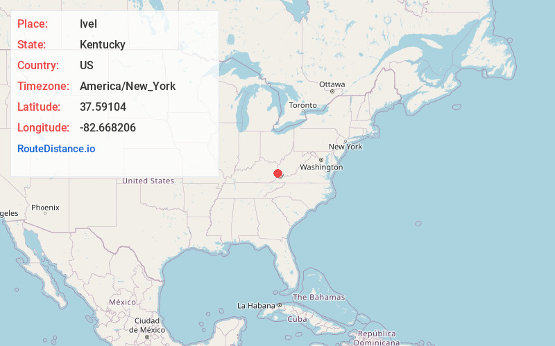
Full AddressIvel, KY
-
Coordinates37.59104, -82.6682064
-
LocationIvel , Kentucky , US
-
TimezoneAmerica/New_York
-
Current Local Time2:30:37 AM America/New_YorkTuesday, July 1, 2025
-
Page Views0
About Ivel
Ivel is an unincorporated community and coal town in Floyd County, Kentucky, United States.
A post office was established in the community in 1905. The town takes its name from the Ivy Creek.

Nearby Places
Found 10 places within 50 miles

Banner
1.9 mi
3.1 km
Banner, KY 41603
Get directions
Stanville
2.2 mi
3.5 km
Stanville, KY 41659
Get directions
Dana
2.8 mi
4.5 km
Dana, KY 41615
Get directions
Woods
3.2 mi
5.1 km
Woods, KY 41653
Get directions

Betsy Layne
3.3 mi
5.3 km
Betsy Layne, KY
Get directions
Allen City
3.5 mi
5.6 km
Allen City, KY 41601
Get directions
Arkansas
3.6 mi
5.8 km
Arkansas, KY 41601
Get directions
Dwale
3.8 mi
6.1 km
Dwale, KY 41621
Get directions
Amba
4.5 mi
7.2 km
Amba, KY 41635
Get directions
Wonder
4.5 mi
7.2 km
Wonder, KY 41653
Get directions
Location Links
Local Weather
Weather Information
Coming soon!
Location Map
Static map view of Ivel, Kentucky
Browse Places by Distance
Places within specific distances from Ivel
Short Distances
Long Distances
Click any distance to see all places within that range from Ivel. Distances shown in miles (1 mile ≈ 1.61 kilometers).