Distance to Kelso, California

Calculating Your Route
Just a moment while we process your request...
Location Information
-
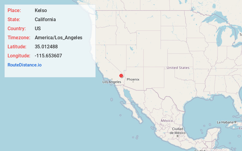
Full AddressKelso, CA
-
Coordinates35.0124884, -115.6536072
-
LocationKelso , California , US
-
TimezoneAmerica/Los_Angeles
-
Current Local Time10:15:53 PM America/Los_AngelesThursday, June 19, 2025
-
Page Views0
About Kelso
Kelso is a ghost town and defunct railroad depot in the Mojave National Preserve in San Bernardino County, California, USA. It was named after railroad worker John H. Kelso, whose name was placed into a hat along with two other workers to decide the name of the town.


Nearby Places
Found 10 places within 50 miles

Hayden
3.3 mi
5.3 km
Hayden, CA 92332
Get directions
Flynn
5.0 mi
8.0 km
Flynn, CA
Get directions
Elora
11.2 mi
18.0 km
Elora, CA
Get directions
Sands
16.4 mi
26.4 km
Sands, CA
Get directions
Balch
21.3 mi
34.3 km
Balch, CA
Get directions
Orange Blossom Mine
23.8 mi
38.3 km
Orange Blossom Mine, California
Get directions
Brant
25.1 mi
40.4 km
Brant, CA 92364
Get directions

Lanfair
27.7 mi
44.6 km
Lanfair, CA
Get directions

Halloran Springs
28.1 mi
45.2 km
Halloran Springs, CA 92364
Get directions

Baker
29.6 mi
47.6 km
Baker, CA
Get directions
Location Links
Local Weather
Weather Information
Coming soon!
Location Map
Static map view of Kelso, California
Browse Places by Distance
Places within specific distances from Kelso
Short Distances
Long Distances
Click any distance to see all places within that range from Kelso. Distances shown in miles (1 mile ≈ 1.61 kilometers).