Distance to Sequoyah State Park, Oklahoma

Calculating Your Route
Just a moment while we process your request...
Location Information
-
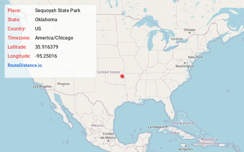
Full AddressSequoyah State Park, 17131 Park 10, Hulbert, OK 74441
-
Coordinates35.9163791, -95.2501602
-
Street17131 Park 10
-
LocationHulbert , Oklahoma , US
-
TimezoneAmerica/Chicago
-
Current Local Time2:53:01 AM America/ChicagoTuesday, June 10, 2025
-
Page Views0
About Sequoyah State Park
Boating, golfing, horeseback riding & more at an expansive lake & forested area.


Nearby Places
Found 10 places within 50 miles

Mallard Bay
4.2 mi
6.8 km
Mallard Bay, OK 74467
Get directions
Toppers
5.0 mi
8.0 km
Toppers, OK 74467
Get directions

Okay
5.9 mi
9.5 km
Okay, OK
Get directions
Eli
6.0 mi
9.7 km
Eli, OK 74441
Get directions

Hulbert
6.2 mi
10.0 km
Hulbert, OK 74441
Get directions

Wagoner
7.3 mi
11.7 km
Wagoner, OK 74467
Get directions

Lost City
8.1 mi
13.0 km
Lost City, OK 74441
Get directions

Fort Gibson
8.2 mi
13.2 km
Fort Gibson, OK 74434
Get directions
Wybark
8.6 mi
13.8 km
Wybark, OK 74403
Get directions
Shady Grove
8.9 mi
14.3 km
Shady Grove, OK
Get directions
Location Links
Local Weather
Weather Information
Coming soon!
Location Map
Static map view of Sequoyah State Park, Oklahoma
Browse Places by Distance
Places within specific distances from Sequoyah State Park
Short Distances
Long Distances
Click any distance to see all places within that range from Sequoyah State Park. Distances shown in miles (1 mile ≈ 1.61 kilometers).