Distance to Stanton, Arizona

Calculating Your Route
Just a moment while we process your request...
Location Information
-
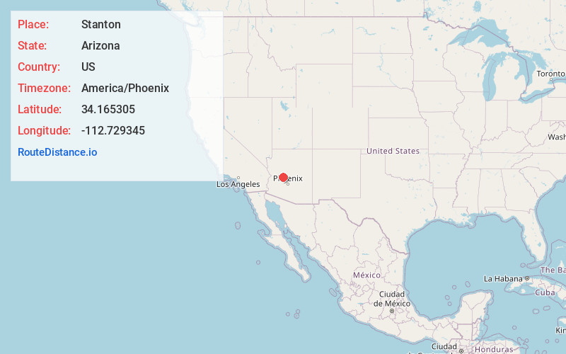
Full AddressStanton, AZ 85332
-
Coordinates34.1653048, -112.7293446
-
LocationStanton , Arizona , US
-
TimezoneAmerica/Phoenix
-
Current Local Time5:36:32 AM America/PhoenixFriday, June 6, 2025
-
Page Views0
About Stanton
Stanton is a populated place in Yavapai County, Arizona, United States that is now used as an RV park. The town was originally a stagecoach stop known as Antelope Station, and was later renamed "Stanton" after the businessman and crook Chuck Stanton, who took over the town in the 1870s.

Nearby Places
Found 10 places within 50 miles

Octave
2.8 mi
4.5 km
Octave, AZ 85332
Get directions

Yarnell
4.0 mi
6.4 km
Yarnell, AZ
Get directions

Congress
6.9 mi
11.1 km
Congress, AZ 85332
Get directions

Peeples Valley
8.1 mi
13.0 km
Peeples Valley, AZ
Get directions
Piedmont
9.2 mi
14.8 km
Piedmont, AZ 85362
Get directions
Wagoner
11.6 mi
18.7 km
Wagoner, AZ 86332
Get directions
Walnut Grove
13.2 mi
21.2 km
Walnut Grove, AZ 86332
Get directions

Wickenburg
13.5 mi
21.7 km
Wickenburg, AZ 85390
Get directions
Date
15.0 mi
24.1 km
Date, AZ 85362
Get directions
Lehman Mill
16.0 mi
25.7 km
Lehman Mill, AZ 85342
Get directions
Location Links
Local Weather
Weather Information
Coming soon!
Location Map
Static map view of Stanton, Arizona
Browse Places by Distance
Places within specific distances from Stanton
Short Distances
Long Distances
Click any distance to see all places within that range from Stanton. Distances shown in miles (1 mile ≈ 1.61 kilometers).