Distance to Tontogany, Ohio

Calculating Your Route
Just a moment while we process your request...
Location Information
-
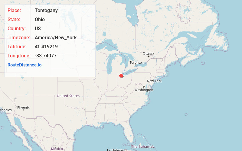
Full AddressTontogany, OH
-
Coordinates41.419219, -83.7407702
-
LocationTontogany , Ohio , US
-
TimezoneAmerica/New_York
-
Current Local Time11:33:40 AM America/New_YorkMonday, June 23, 2025
-
Page Views0
About Tontogany
Tontogany is a village in Wood County, Ohio, United States. The population was 387 at the 2020 census. Every Fall the village holds a festival called "ToganyFest" And gathers many people in the county.


Nearby Places
Found 10 places within 50 miles

Haskins
3.6 mi
5.8 km
Haskins, OH
Get directions

Bowling Green
5.6 mi
9.0 km
Bowling Green, OH
Get directions

Waterville
5.8 mi
9.3 km
Waterville, OH 43566
Get directions

Weston
5.9 mi
9.5 km
Weston, OH 43569
Get directions

Grand Rapids
6.4 mi
10.3 km
Grand Rapids, OH 43522
Get directions

Whitehouse
7.6 mi
12.2 km
Whitehouse, OH
Get directions
Portage
7.9 mi
12.7 km
Portage, OH 43451
Get directions

Neapolis
8.5 mi
13.7 km
Neapolis, OH
Get directions

Maumee
10.9 mi
17.5 km
Maumee, OH
Get directions

McClure
10.9 mi
17.5 km
McClure, OH 43534
Get directions
Location Links
Local Weather
Weather Information
Coming soon!
Location Map
Static map view of Tontogany, Ohio
Browse Places by Distance
Places within specific distances from Tontogany
Short Distances
Long Distances
Click any distance to see all places within that range from Tontogany. Distances shown in miles (1 mile ≈ 1.61 kilometers).