Distance to Laflin, Missouri

Calculating Your Route
Just a moment while we process your request...
Location Information
-
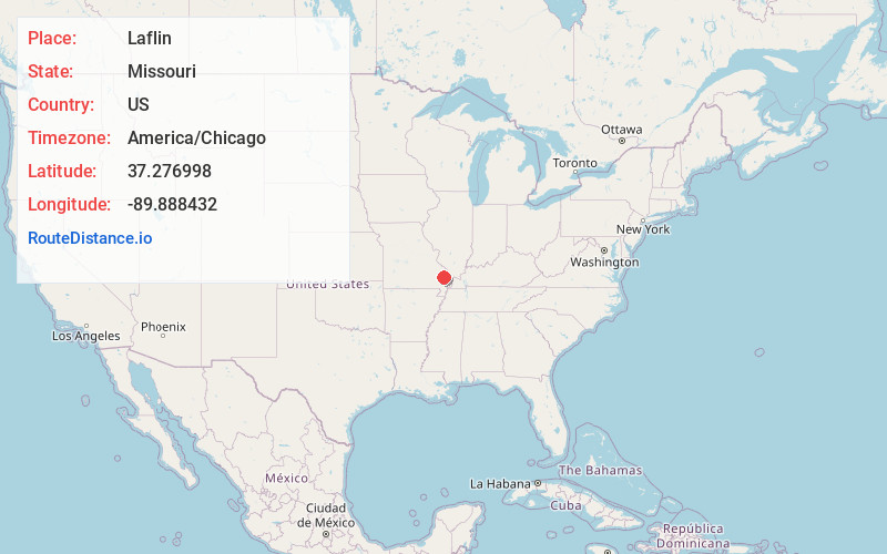
Full AddressLaflin, MO 63785
-
Coordinates37.2769975, -89.8884317
-
LocationLaflin , Missouri , US
-
TimezoneAmerica/Chicago
-
Current Local Time4:26:02 AM America/ChicagoTuesday, June 3, 2025
-
Page Views0
About Laflin
Laflin is an unincorporated community in the southeastern part of Lorance Township in Bollinger County, Missouri, United States. The community is on the Crooked Creek floodplain at the end of Missouri Route U. Marble Hill is approximately 4.5 miles to the northwest.

Nearby Places
Found 10 places within 50 miles

Leopold
2.5 mi
4.0 km
Leopold, MO
Get directions

Crump
3.3 mi
5.3 km
Crump, Liberty Township, MO 63785
Get directions

Marble Hill
4.9 mi
7.9 km
Marble Hill, MO 63764
Get directions
Whitewater
5.8 mi
9.3 km
Whitewater, MO 63785
Get directions
Drum
6.1 mi
9.8 km
Drum, Liberty Township, MO 63785
Get directions
Gravel Hill
6.2 mi
10.0 km
Gravel Hill, Kinder Township, MO 63764
Get directions
Glennon
6.3 mi
10.1 km
Glennon, Liberty Township, MO 63730
Get directions

Burfordville
7.7 mi
12.4 km
Burfordville, MO
Get directions
Allenville
8.1 mi
13.0 km
Allenville, MO
Get directions
Glenallen
8.2 mi
13.2 km
Glenallen, MO 63751
Get directions
Location Links
Local Weather
Weather Information
Coming soon!
Location Map
Static map view of Laflin, Missouri
Browse Places by Distance
Places within specific distances from Laflin
Short Distances
Long Distances
Click any distance to see all places within that range from Laflin. Distances shown in miles (1 mile ≈ 1.61 kilometers).