Distance to Tanglewood Acres, Colorado

Calculating Your Route
Just a moment while we process your request...
Location Information
-
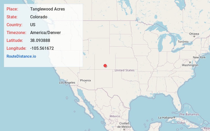
Full AddressTanglewood Acres, CO 81252
-
Coordinates38.0938883, -105.5616721
-
LocationColorado , US
-
TimezoneAmerica/Denver
-
Current Local Time5:04:23 PM America/DenverTuesday, June 3, 2025
-
Page Views0
Nearby Places
Found 10 places within 50 miles

Westcliffe
5.9 mi
9.5 km
Westcliffe, CO 81252
Get directions

Silver Cliff
7.0 mi
11.3 km
Silver Cliff, CO 81252
Get directions

Crestone
10.1 mi
16.3 km
Crestone, CO
Get directions

Moffat
20.1 mi
32.3 km
Moffat, CO
Get directions

Cotopaxi
20.5 mi
33.0 km
Cotopaxi, CO 81223
Get directions

Coaldale
21.6 mi
34.8 km
Coaldale, CO
Get directions

Howard
28.6 mi
46.0 km
Howard, CO
Get directions

Malachite
28.6 mi
46.0 km
Malachite, CO 81040
Get directions
Rockvale
28.8 mi
46.3 km
Rockvale, CO 81226
Get directions
Prospect Heights
28.9 mi
46.5 km
Prospect Heights, Lincoln Park, CO 81212
Get directions
Location Links
Local Weather
Weather Information
Coming soon!
Location Map
Static map view of Tanglewood Acres, Colorado
Browse Places by Distance
Places within specific distances from Tanglewood Acres
Short Distances
Long Distances
Click any distance to see all places within that range from Tanglewood Acres. Distances shown in miles (1 mile ≈ 1.61 kilometers).