Distance to Woodland, South Carolina

Calculating Your Route
Just a moment while we process your request...
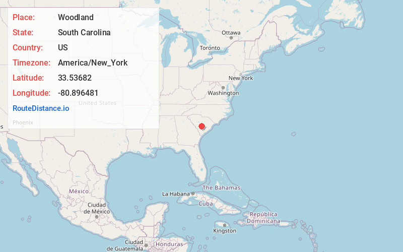
Location Information
-
Full AddressWoodland, SC 29118
-
Coordinates33.5368203, -80.8964812
-
LocationWoodland , South Carolina , US
-
TimezoneAmerica/New_York
-
Current Local Time7:21:58 AM America/New_YorkSaturday, May 31, 2025
-
Page Views0
Nearby Places
Found 10 places within 50 miles

Haddock
3.8 mi
6.1 km
Haddock, Edisto, SC 29115
Get directions

Orangeburg
3.9 mi
6.3 km
Orangeburg, SC
Get directions
Brookdale
4.7 mi
7.6 km
Brookdale, SC 29115
Get directions
Wilkinson Heights
4.9 mi
7.9 km
Wilkinson Heights, SC 29115
Get directions
Cordova
7.1 mi
11.4 km
Cordova, SC 29039
Get directions
Wertz Crossroads
9.5 mi
15.3 km
Wertz Crossroads, SC 29135
Get directions

Cameron
10.7 mi
17.2 km
Cameron, SC 29030
Get directions

St Matthews
11.2 mi
18.0 km
St Matthews, SC 29135
Get directions
Rowesville
12.0 mi
19.3 km
Rowesville, SC 29133
Get directions

Cope
12.7 mi
20.4 km
Cope, SC 29038
Get directions
Location Links
Local Weather
Weather Information
Coming soon!
Location Map
Static map view of Woodland, South Carolina
Browse Places by Distance
Places within specific distances from Woodland
Short Distances
Long Distances
Click any distance to see all places within that range from Woodland. Distances shown in miles (1 mile ≈ 1.61 kilometers).