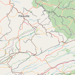
Cities within 80 miles of Symbol
2015 places found
Bow
Kentucky
US
36.7626, -85.3450
Hall
Kentucky
US
37.2993, -82.7702
Swamp Branch
Kentucky
US
37.7359, -82.8949
Oil Springs
Kentucky
US
37.8101, -82.9424
Colville
Kentucky
US
38.3654, -84.2102
Wyett
Kentucky
US
38.1098, -83.2535
 75.3 miles
Frankfort
Kentucky
US
38.1950, -84.8785
Thornton
Kentucky
US
37.1734, -82.7785
Weed
Kentucky
US
37.0372, -85.4709
Deane
Kentucky
US
37.2387, -82.7732
Bascom
Kentucky
US
38.0401, -83.1613
Rodburn
Kentucky
US
38.1981, -83.4107
Mima
Kentucky
US
37.9206, -83.0366
Roda
Virginia
US
36.9679, -82.8329
Slatestone
Tennessee
US
36.1859, -84.1963
Blue River
Kentucky
US
37.6193, -82.8438
 75.1 miles
Stamping Ground
Kentucky
US
38.2717, -84.6863
 75.1 miles
Hillsboro
Kentucky
US
38.2934, -83.6588
Ermine
Kentucky
US
37.1212, -82.7921
Powder Springs
Tennessee
US
36.2537, -83.6696
Luther
Tennessee
US
36.4609, -83.2402
Dotson
Kentucky
US
37.6470, -82.8579
 75.0 miles
Greensburg
Kentucky
US
37.2609, -85.4989
Myers
Kentucky
US
38.3508, -83.9533


Leaflet © OpenStreetMap contributors