Cities within 70 miles of Manson
395 places found
Shady Oak
Iowa
US
42.4616, -94.1569
Bradgate
Iowa
US
42.8030, -94.4180
Roberts
Iowa
US
42.4269, -94.1744
Rolfe
Iowa
US
42.8128, -94.5269
 18.8 miles
Fort Dodge
Iowa
US
42.4975, -94.1680
18.7 miles
Farnhamville
Iowa
US
42.2761, -94.4039
Lytton
Iowa
US
42.4230, -94.8597
Lohrville
Iowa
US
42.2703, -94.5486
Callender
Iowa
US
42.3617, -94.2953
Fonda
Iowa
US
42.5814, -94.8461
15.8 miles
Pocahontas
Iowa
US
42.7355, -94.6691
Sherwood
Iowa
US
42.3591, -94.7269
Slifer
Iowa
US
42.3414, -94.3786
14.6 miles
Gilmore City
Iowa
US
42.7292, -94.4432
Rands
Iowa
US
42.3250, -94.5789
Lavinia
Iowa
US
42.4078, -94.7466
13.6 miles
Moorland
Iowa
US
42.4419, -94.2961
Rinard
Iowa
US
42.3397, -94.4886
Tara
Iowa
US
42.5002, -94.2958
Roelyn
Iowa
US
42.4136, -94.3575
 11.8 miles
Calhoun County
Iowa
US
42.3786, -94.6450
 11.7 miles
Knoke
Iowa
US
42.5169, -94.7630
 11.7 miles
Somers
Iowa
US
42.3784, -94.4303
Piper
Iowa
US
42.3650, -94.5536


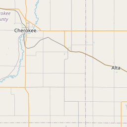

Leaflet © OpenStreetMap contributors